Myths of Belfast - mapping experiments

Over the course of my doctoral research I attempted to apply methodologies derived from art practice in the hope that this would would allow the city to be considered devoid of ideology.
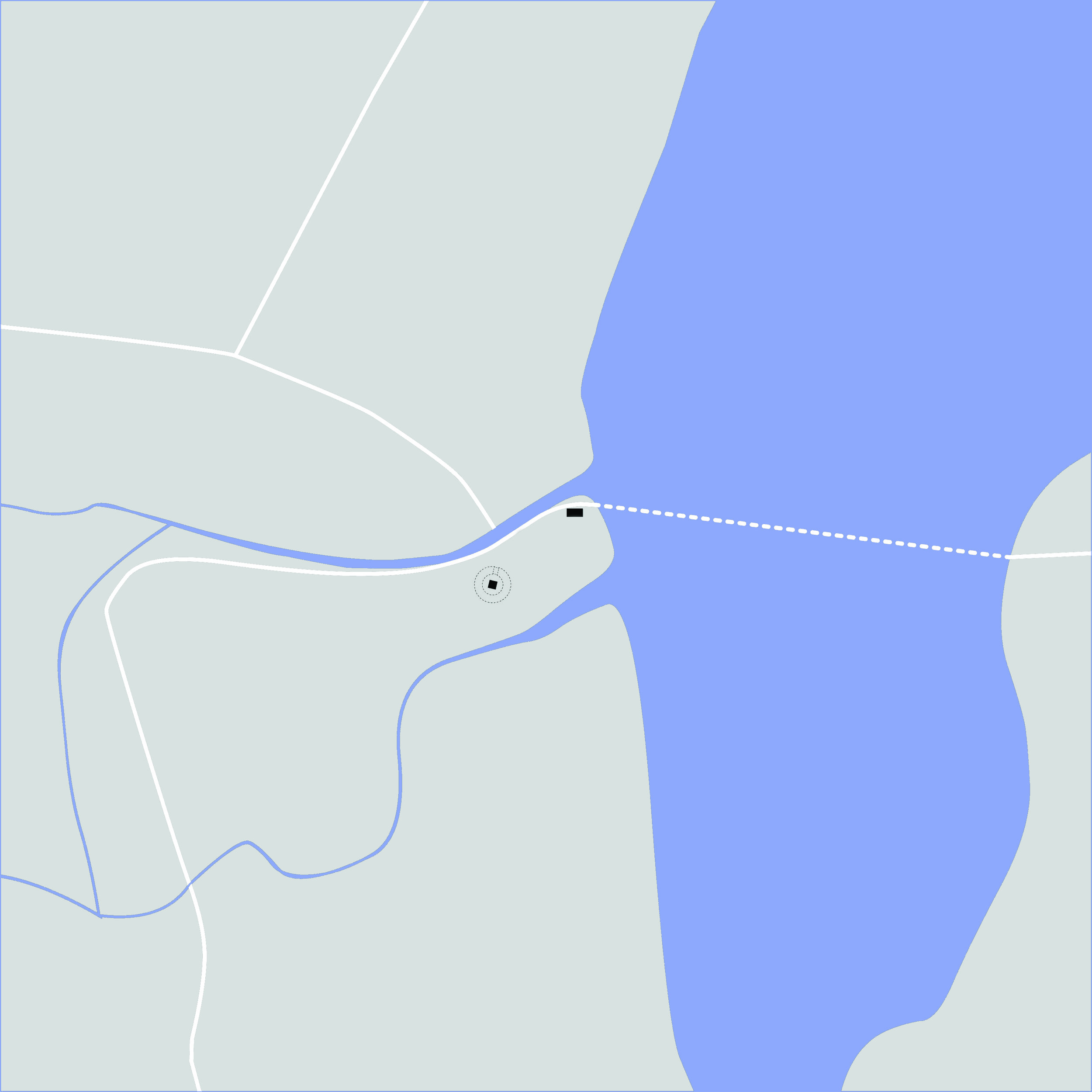
Before making the research film 'Myths of Belfast' I attempted to map the city using a variety of techniques and developing a narrative of the city, both with regards to it's physical development and more esoteric poetic representations.
A selection of these early experiments - traditional/historical mappings, GPS tracings, cinematic mappings - are presented here.
GPS Mapping
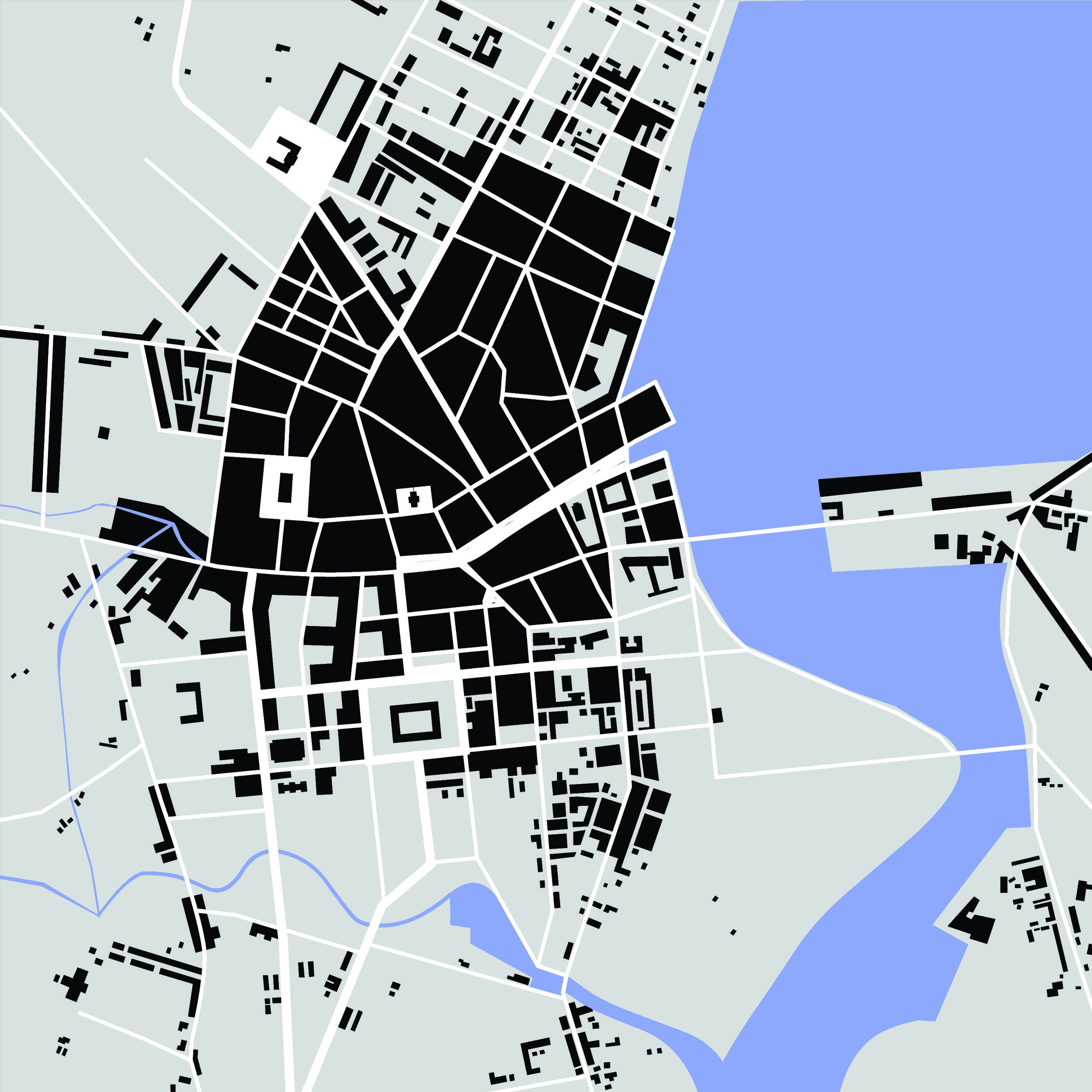
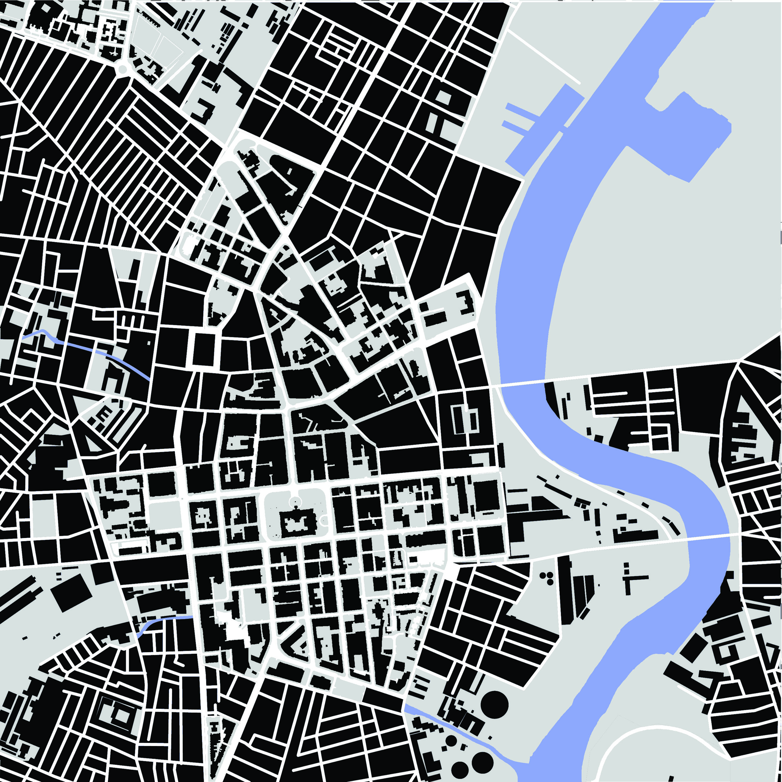
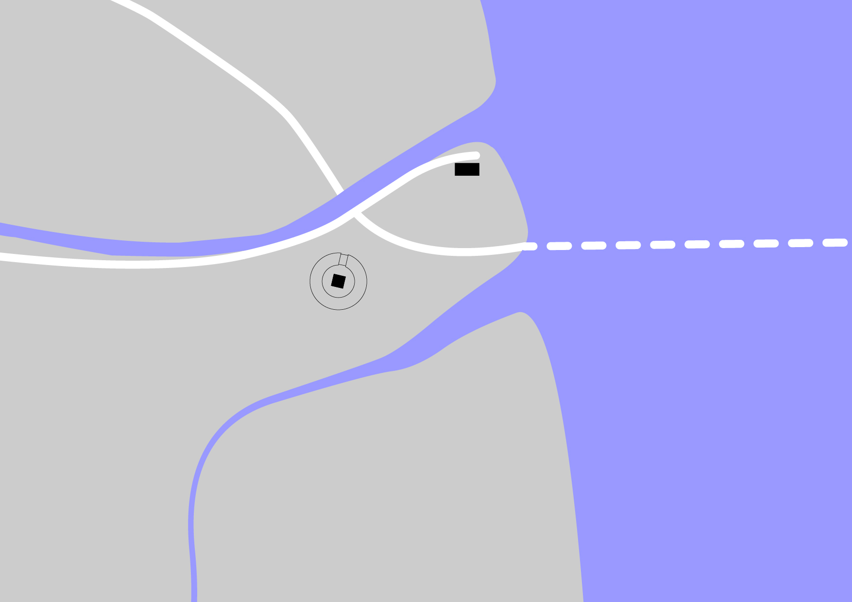
Used extensively for contemporary way finding, the Global Positioning System (GPS) enables walkers to write over the earth, drawing with themselves as they move. Inspired by the art practice of Jeremy Woods, the researcher made several attempts at producing drawings using GPS. This method was used to draw a 1:1 representation of the city in as few lines as possible. Each line represents a specific theme, chosen to best represent key physical elements of the city; river, motorways and train line and the City Hall marked as a centre point.The arbitrariness of these elements was offset by the experience of physically walking the routes in order to draw the lines.
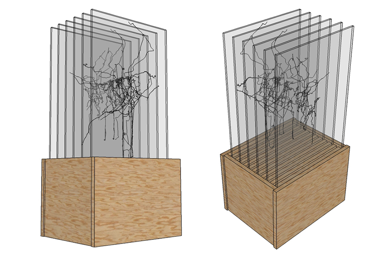
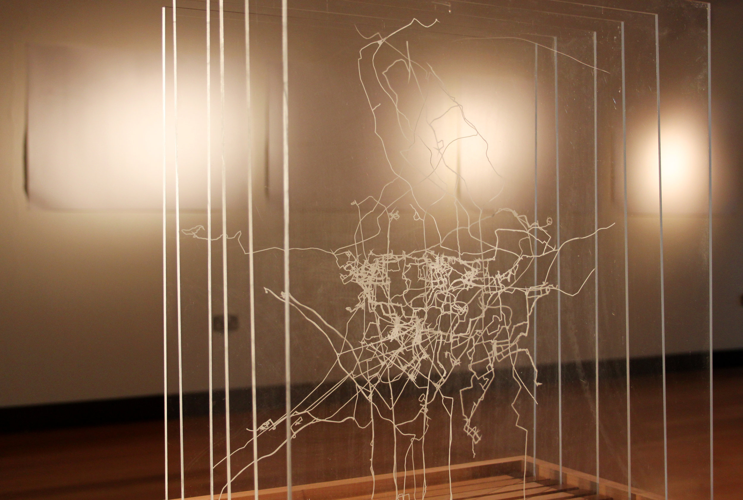
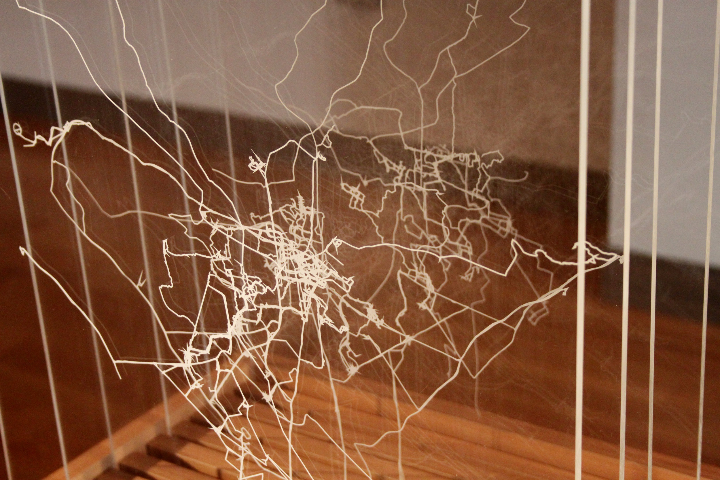
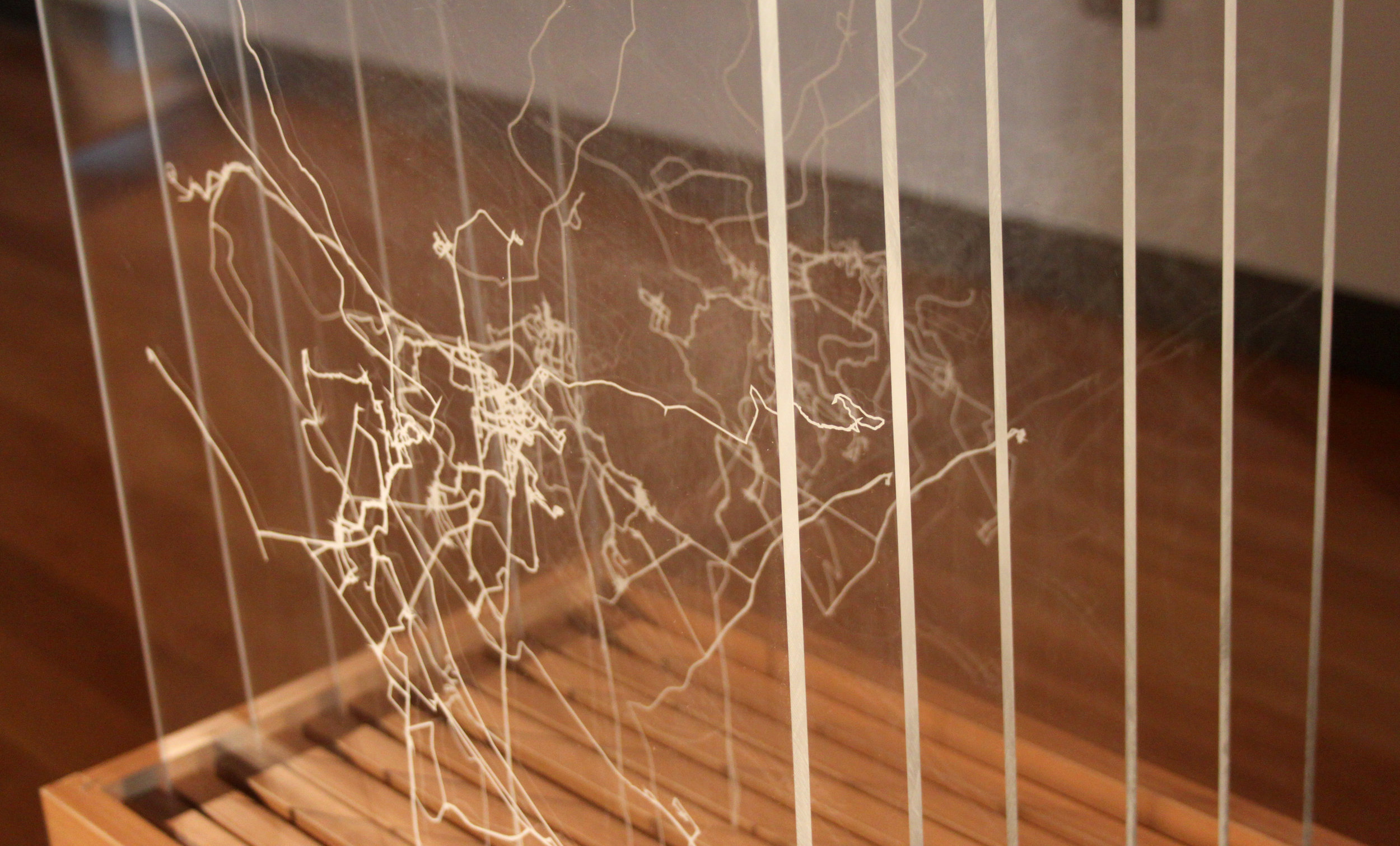
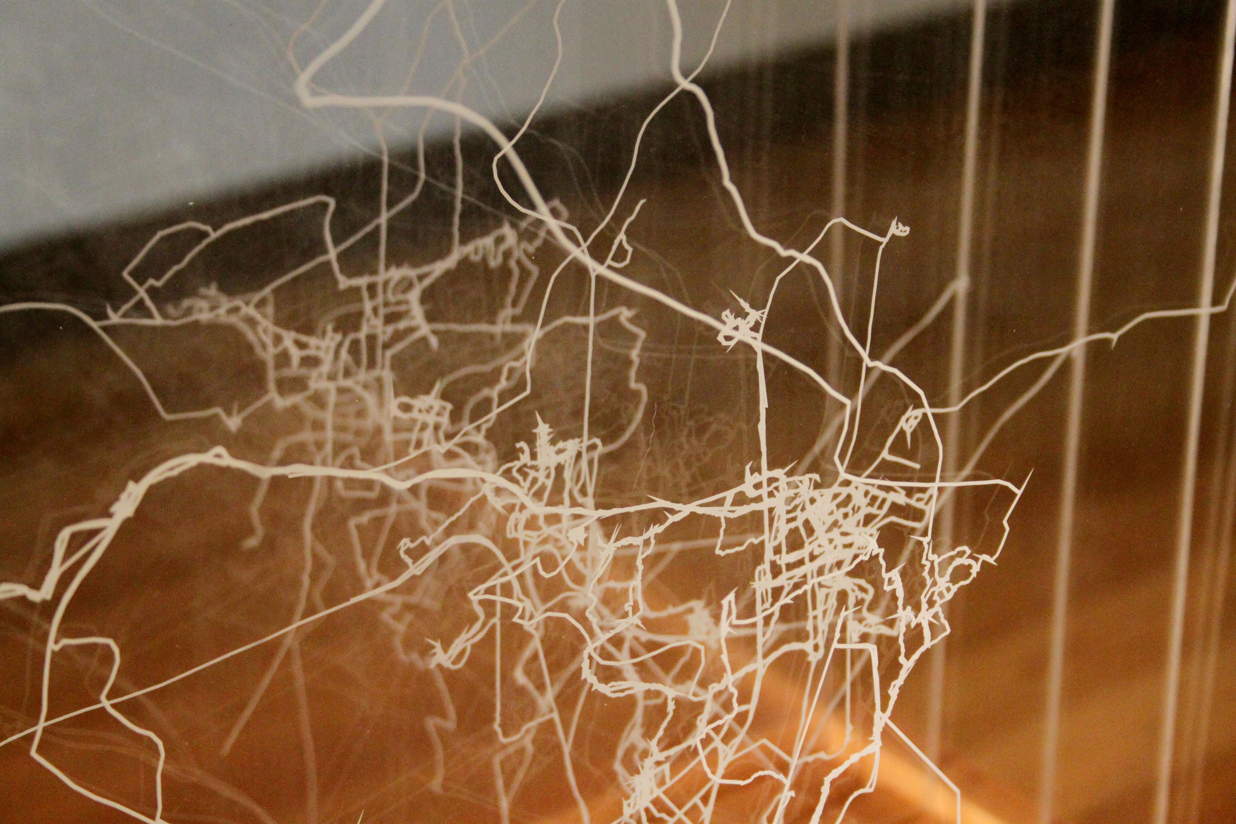
The second GPS drawing was influenced by Woods’ ‘My Ghost.’ The researcher tracked all their movements across the city for six months between March and August 2013. This map is also presented as a series of perspex slides in a freestanding timber box (below). Each slide represents a month of movement around the city.

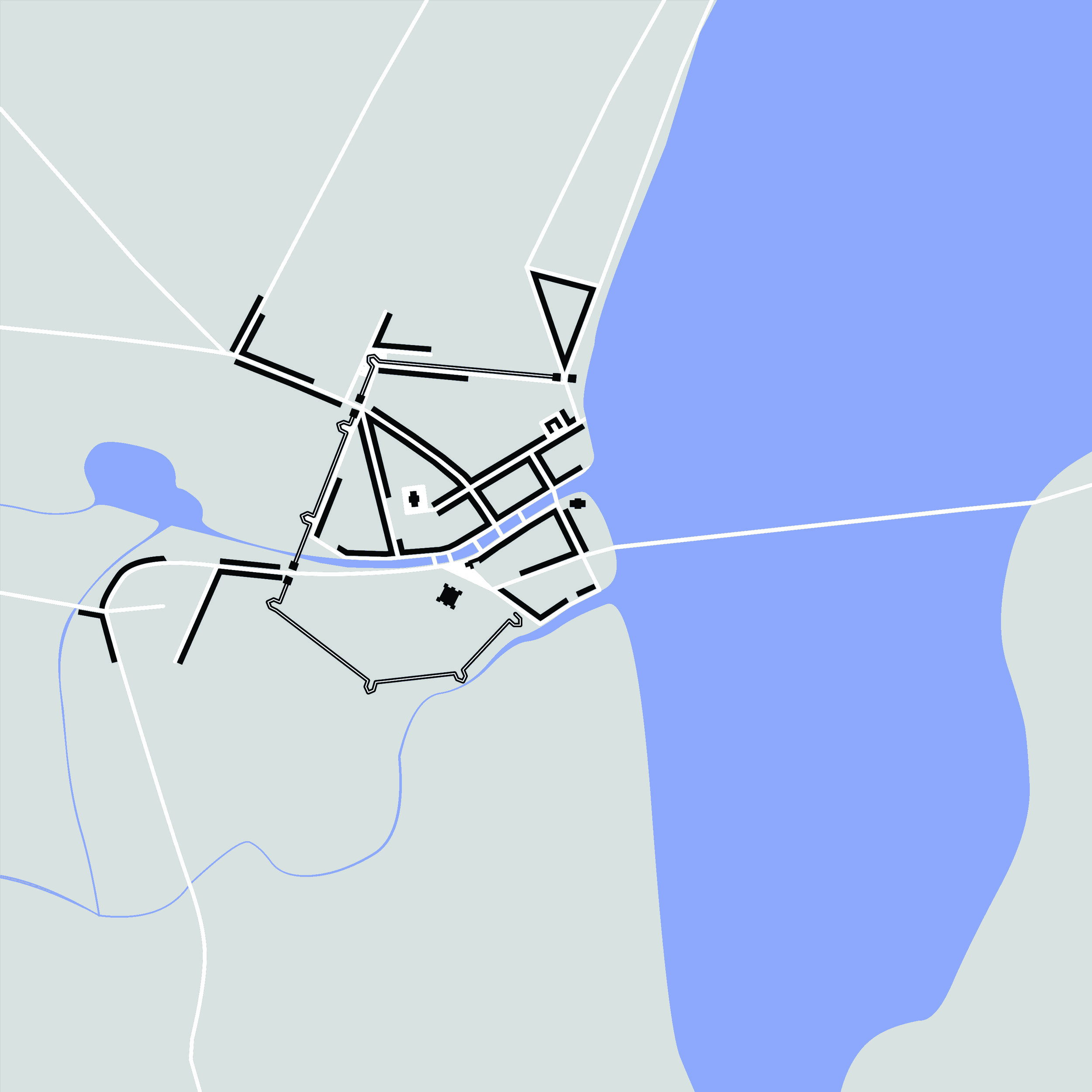
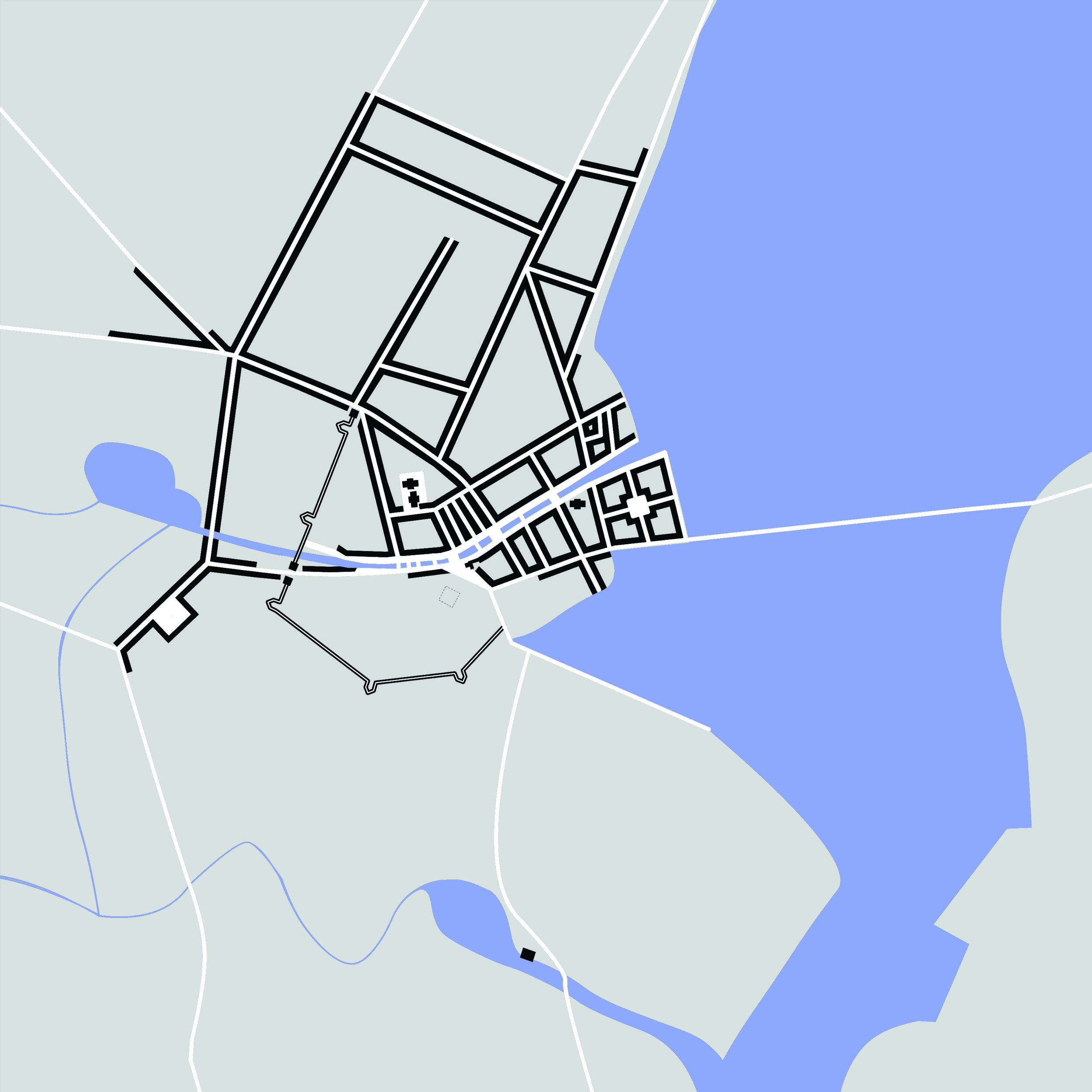
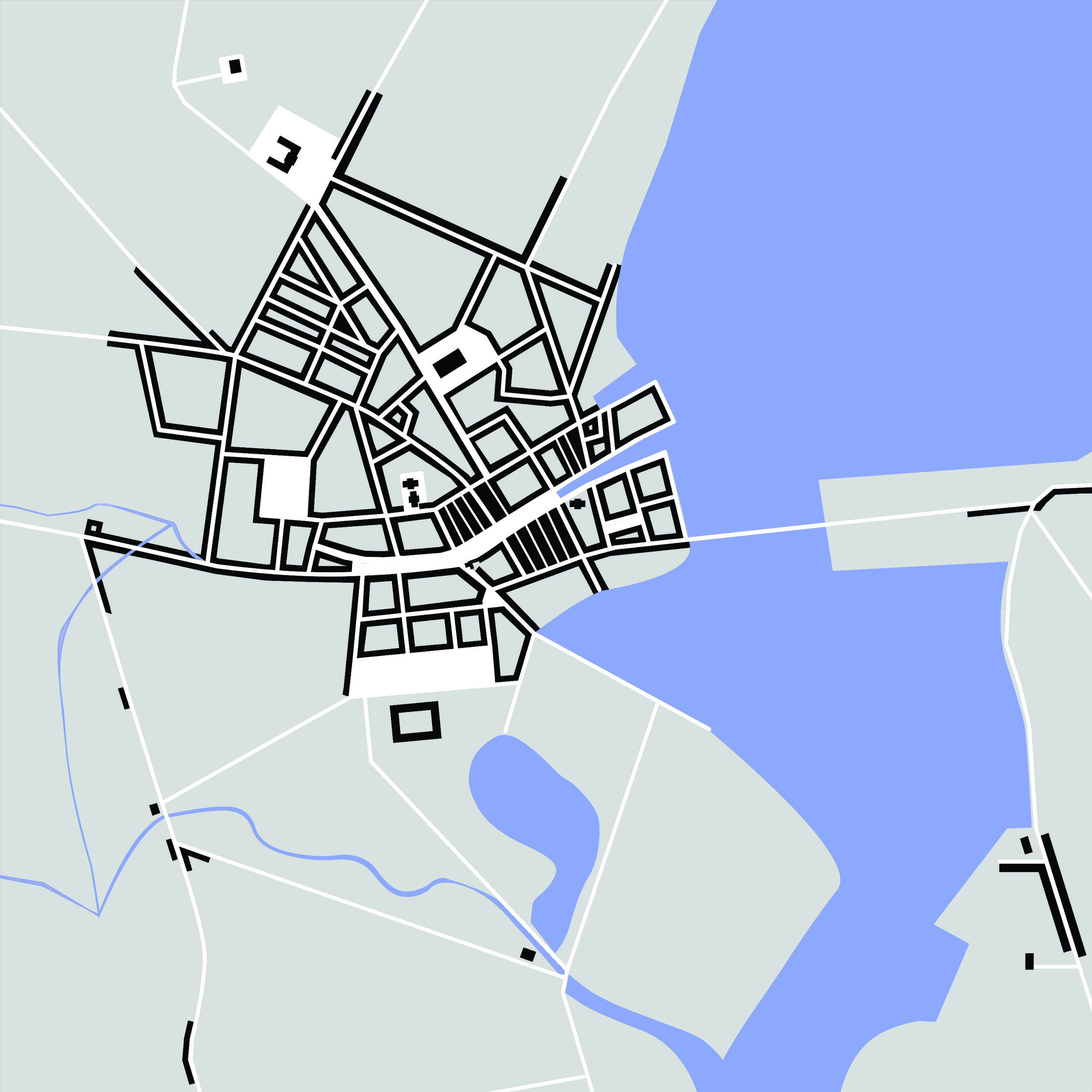
Cinematic Mapping
Before making the final research film, I conducted a series of cartographic experiments aimed at developing a new methodology.
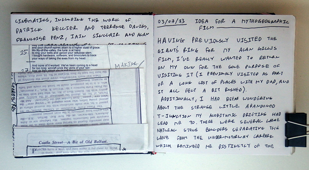
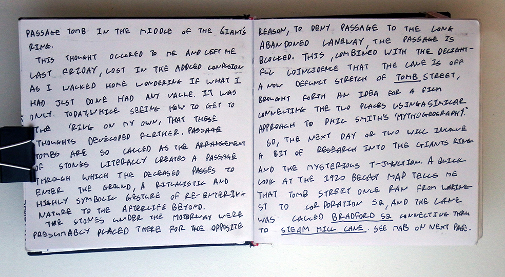
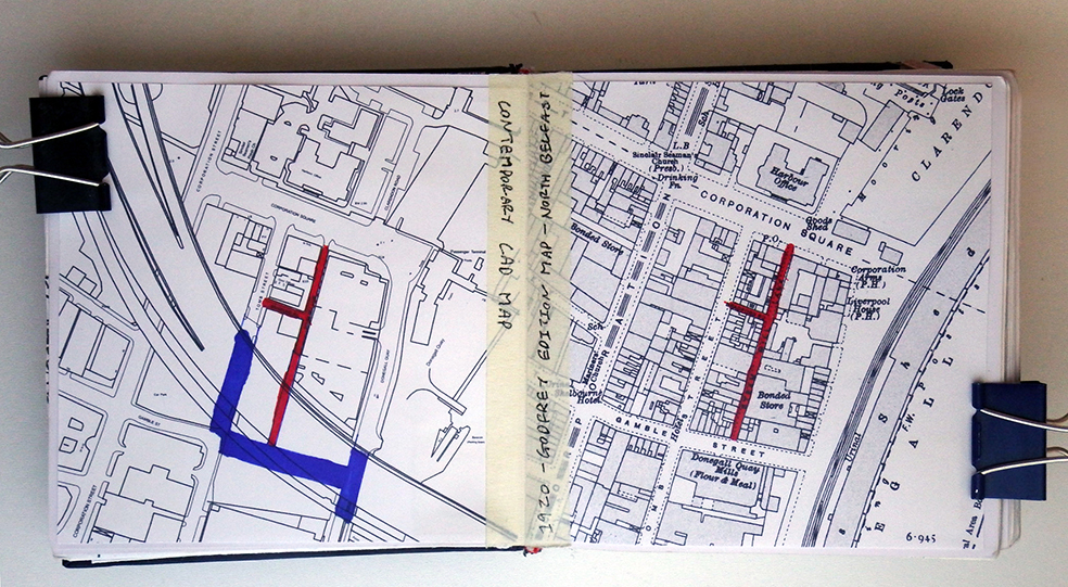
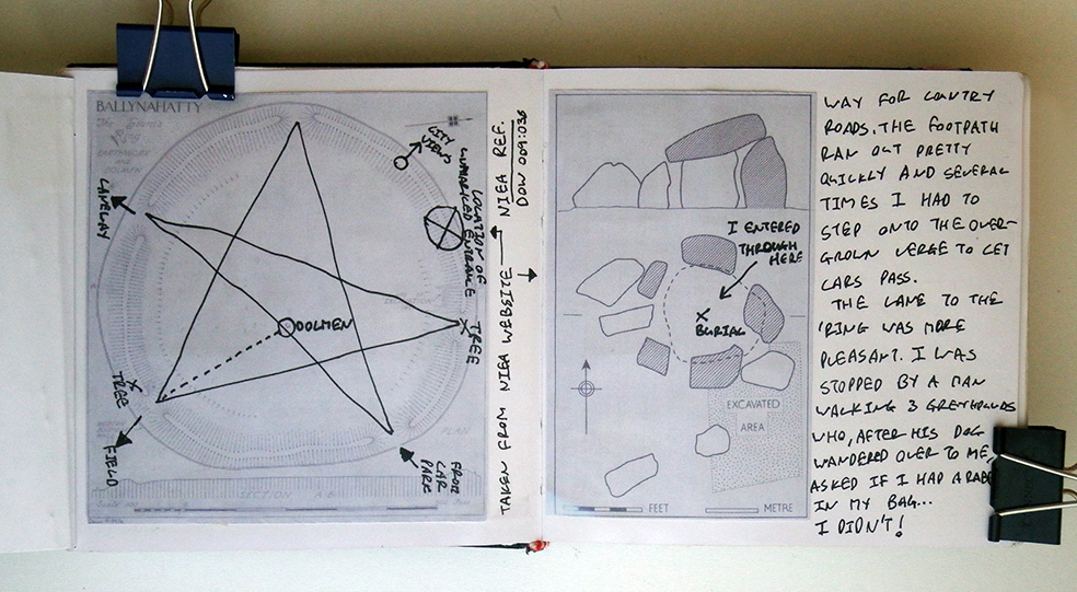
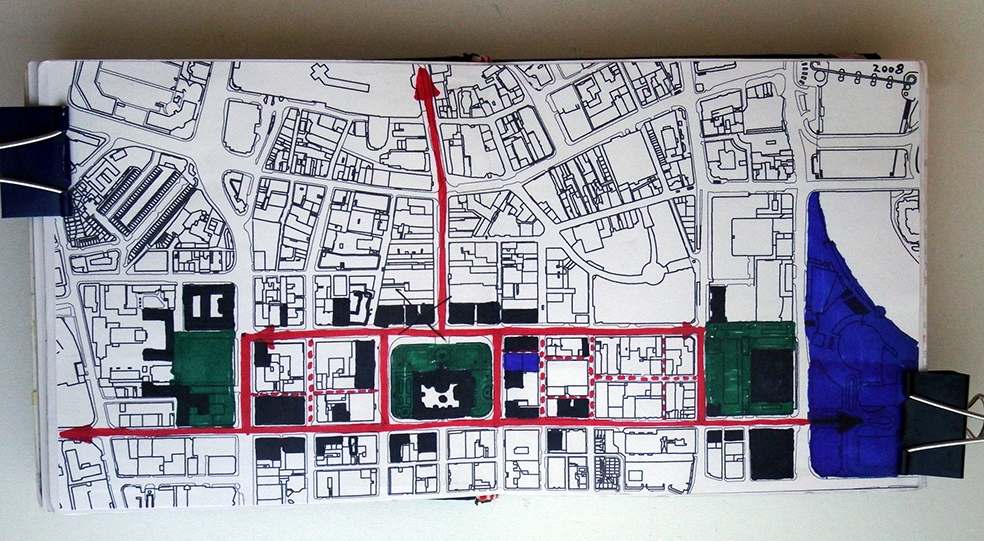
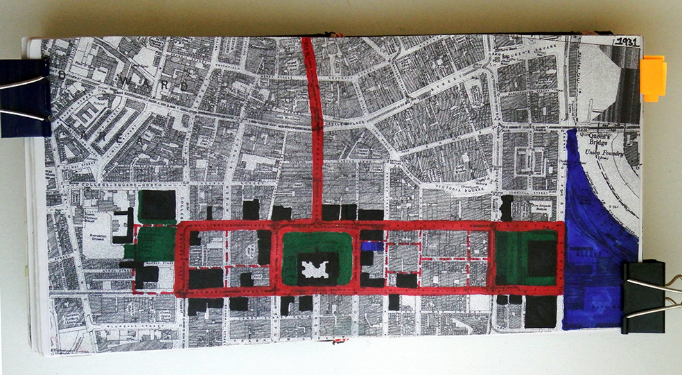
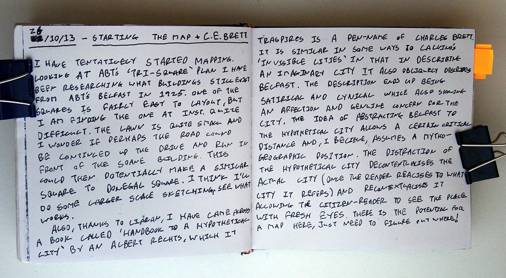
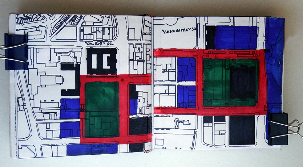

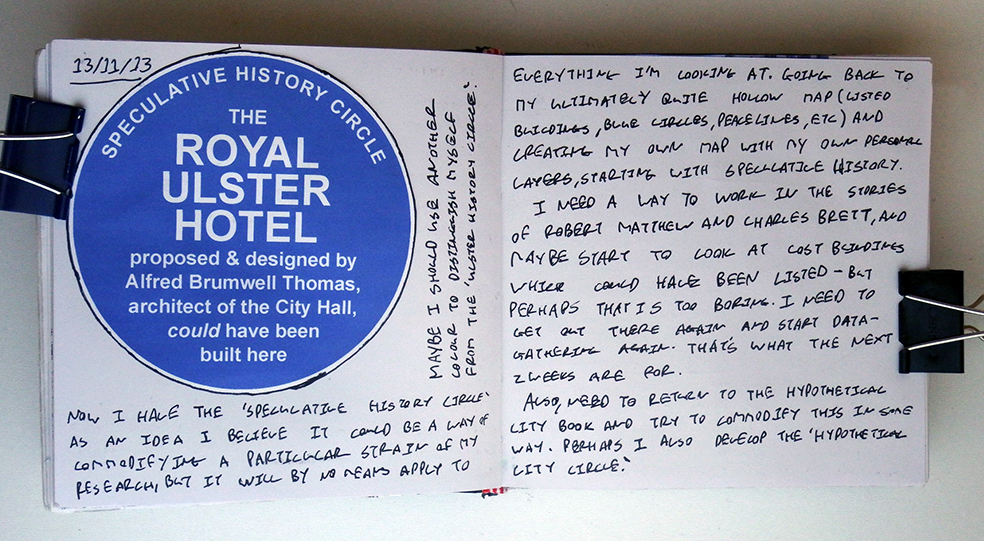

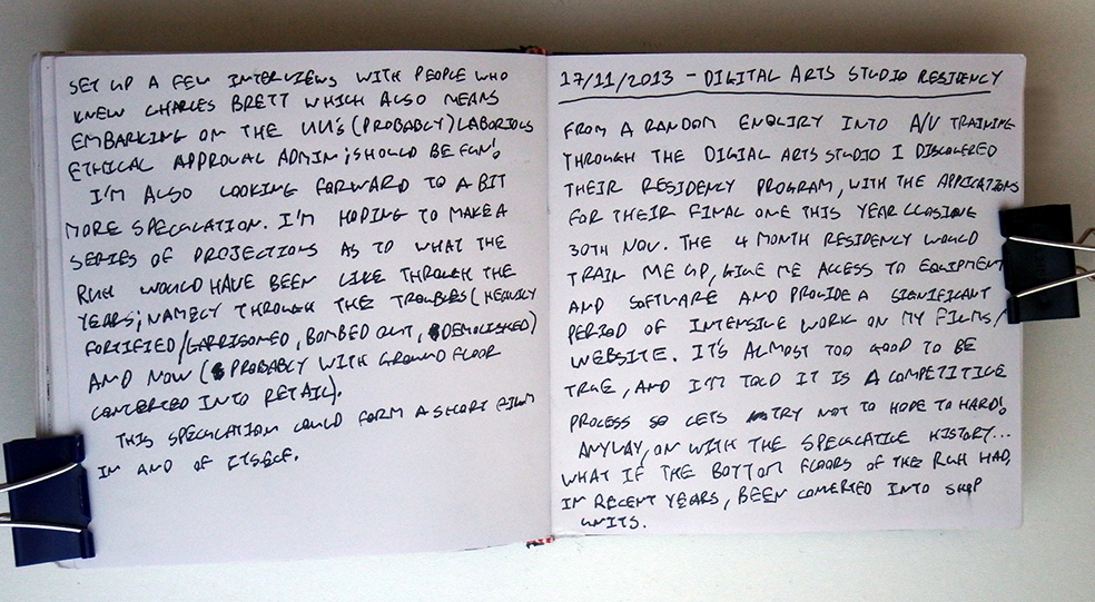
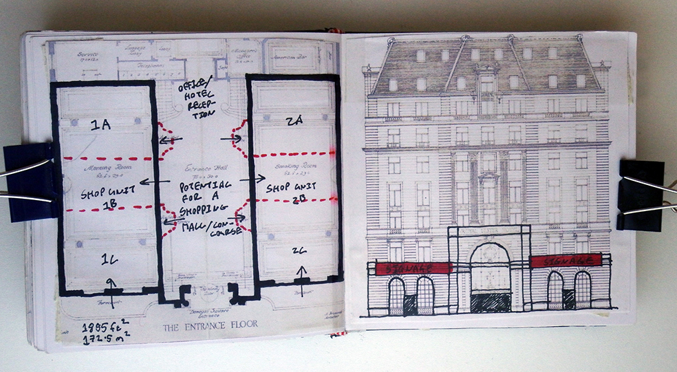

A selection of sketchbook pages with notes taken during key moments in the research.